Star Party Maps
GPS Coordinates: 41° 16' 48.67" N, 121° 58' 28.57" W
GPS Coordinates: 41.28018611°, 121.97460278°
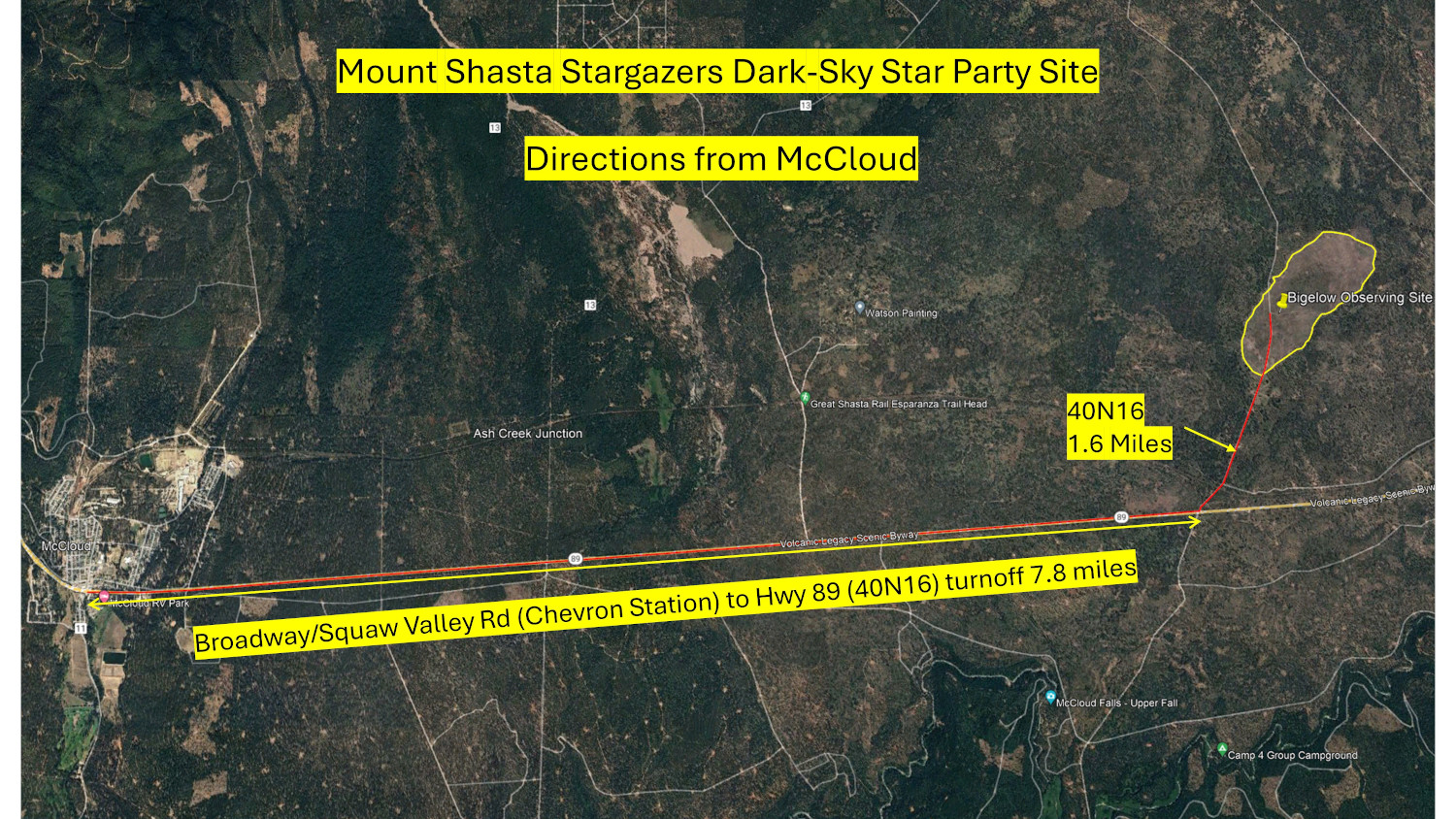
Directions to Star Party Observing Site:
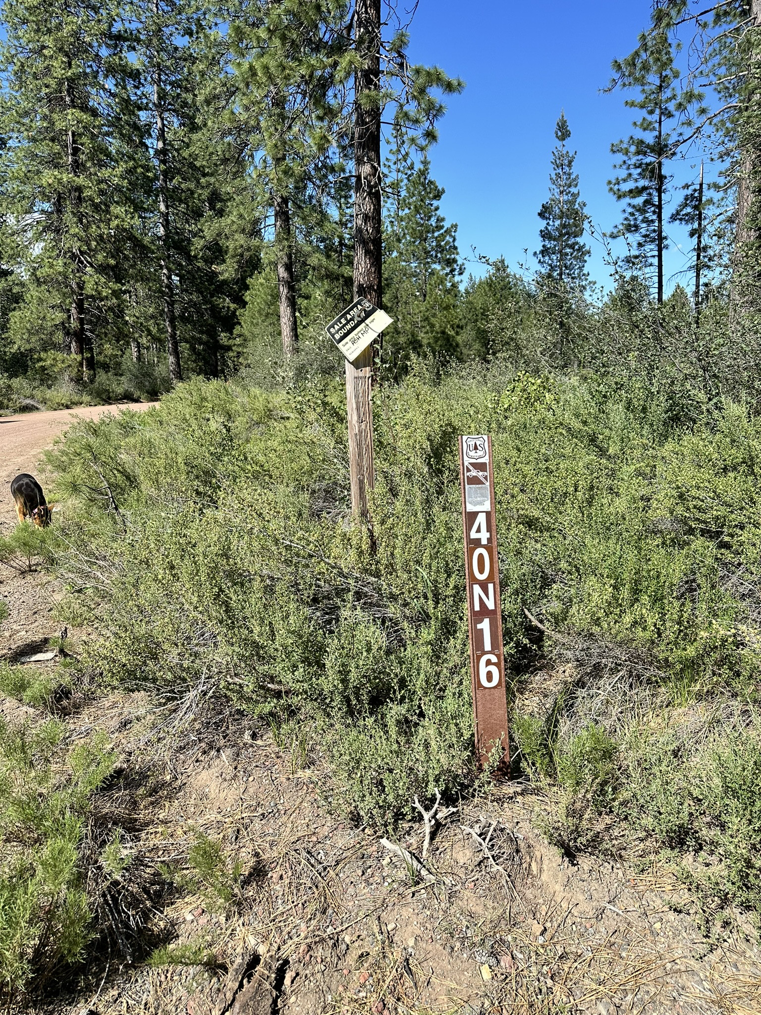
From the Chevron Station in McCloud, drive 7.8 miles past McCloud. Turn left onto Forest Service Rd 40N16. (See photo below). The observing site is approximately 1.6 miles after you turn left. The Forest Service Rd 40N16 is indicated on many maps as Bigelow Rd or Military Pass Road. It is located on the opposite side of Rte 89 from Lakin Dam Rd.

Image of the road sign on Route 89 at the 40N16 Turnoff.

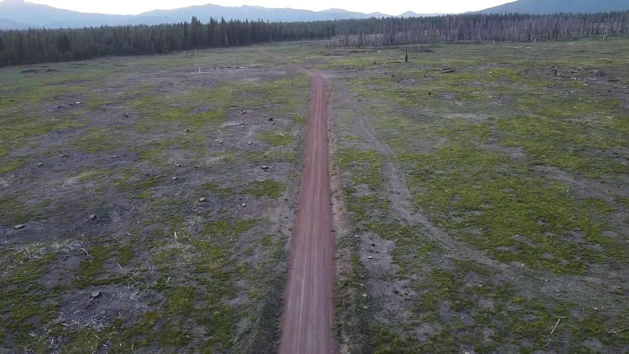
Drone video of the observing site as you approach it on Forest Road 40N16. Click on the image below to view the video.


